Navigating the great outdoors can be both challenging and rewarding. One effective way to find your way is by using natural landmarks for guidance.
These landmarks can be anything from mountain peaks and lakes to rivers and distinctive rock formations.
Using these natural features not only helps you maintain a sense of direction but also adds to the excitement of exploration.
To use natural landmarks effectively, you need to know how to read and interpret a map, matching it with the landscape you encounter.
This skill is especially useful when electronic devices are unavailable or unreliable.
I always recommend planning your route ahead of time, identifying key landmarks, and using them as reference points to track your progress.
Types of Natural Landmarks
These can include mountains, rivers, lakes, distinctive rock formations, and more.
For example, hikers can use the position of the sun or the flight patterns of birds as cues to maintain their bearings in the wilderness.
Other natural landmarks that can be helpful are:
- Trees: Tallest, oldest trees or unique tree species
- Waterbodies: Lakes, rivers, waterfalls
- Terrain features: Valleys, ridges, cliffs
- Wildlife: Animal paths, nests or behaviours
Cultural
Natural landmarks often serve as markers for sacred sites or historically significant events.
In many cultures, these landmarks are deeply woven into mythology, folklore, and oral traditions.
For example, a unique rock formation might be seen as the home of a deity in certain belief systems.
Understanding the cultural significance of these natural landmarks is important not only for navigation but also for developing a connection and respect for the land.
Enhancing
Developing an understanding of natural landmarks can greatly enhance one’s ecological awareness.
By recognizing patterns in the environment, such as moss growth or animal migrations, you can gain valuable insights into the ecosystem.
Learning to read these signs helps nature enthusiasts adapt their activities to minimize harm and maintain the integrity of the natural world.
Some examples of ecological awareness include:
- Observing plant growth trends to identify areas with abundant food sources or shelter for animals.
- Recognizing early warning signs, such as changes in animal behavior that indicate shifts in the ecosystem due to human or climate impacts.
- Practicing sustainable outdoor activities by following Leave No Trace principles and promoting responsible tourism.
Using the Sun and Stars

Solar Navigation
One simple yet effective method for natural navigation is to observe the position of the sun.
The sun rises in the east and sets in the west, providing a general sense of direction.
You can estimate the time of day by the sun’s position in the sky.
For example, when the sun is highest in the sky, it’s approximately noon.
An easy way to estimate your orientation is the shadow stick method:
- Find a stick and place it vertically into the ground.
- Observe the shadow cast by the stick.
- Mark the shadow’s tip with a stone or another stick.
- Wait for about 15-20 minutes.
- Mark the new position of the shadow’s tip.
- Draw a line between the two marks.
This line points from the first mark (west) to the second mark (east), helping you understand your orientation.
Astronomical Patterns
Nighttime navigation requires a basic understanding of constellations and recognition of notable stars.
In the northern hemisphere, the North Star (Polaris) is a reliable indicator of true north. To locate Polaris, you can use the Big Dipper constellation:
- Identify the Big Dipper constellation.
- Find the two stars at the end of the “cup” (Dubhe and Merak).
- Follow an imaginary line through these two stars, extending it about five times their distance.
- The bright star that this line reaches is Polaris.
In the southern hemisphere, the Southern Cross constellation can help you find true south. Here’s how to locate it:
- Identify the Southern Cross constellation, consisting of four bright stars forming a kite-like shape.
- Draw an imaginary line through the longer axis of the cross.
- Locate the Pointers stars, which are two bright stars nearby.
- Draw an imaginary line perpendicular to the line connecting the two Pointers.
- The point where these two imaginary lines intersect is the approximate location of the South Celestial Pole.
Navigating with Terrestrial Features
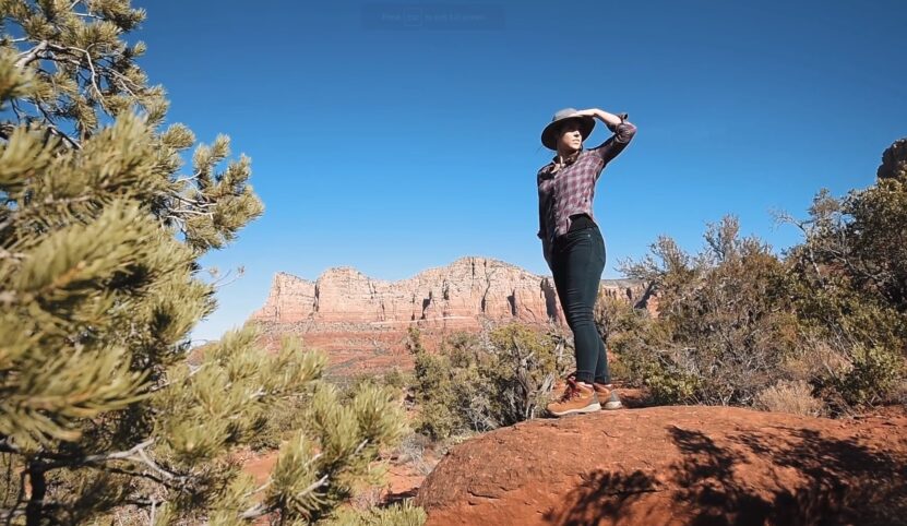
Mountain Ranges and Peaks
Mountain ranges and peaks provide a natural point of reference when navigating in the wilderness.
Peaks can serve as landmarks to help with direction, as well as to estimate distances and assist in keeping your bearings.
However, if a particular mountain peak is visible, it can help you determine your position relative to the peak as you travel.
When navigating in mountainous terrain, it’s important to be aware of the type of landscape to ensure accurate navigation. Key factors to consider include:
- Local topography: Understand the elevation change, slopes, and geological formations.
- Vegetation: Observe the types and distribution of plant life that can aid you in understanding the climate and soil conditions.
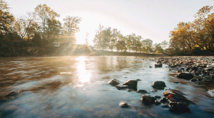
Rivers and Streams
Since they often lead to towns or connect to larger bodies of water, following a river can ensure that you stay on course.
- Observe the flow direction of the water. It can be an indication of elevation change and the distance from the river’s source or mouth.
- Recognize any unique river formations such as meanders, oxbow lakes, or waterfalls. These features can help you orient even in unfamiliar terrain.
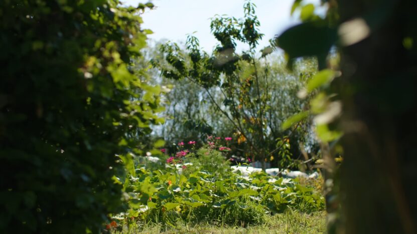
Forests and Trees
Forests offer abundant natural resources for navigation, such as distinctive tree species and growth patterns.
Here are a few ways to navigate using forests and trees:
- Identify the growth patterns of trees. Forests on windward sides of hills may have different growth patterns compared to those on the leeward side, providing clues about your direction.
- Look for moss growth on tree trunks. While not a definitive rule, moss often grows on the north side of trees in the Northern Hemisphere, and on the south side in the Southern Hemisphere. This can be helpful in determining cardinal directions.
- Spot clearings or breaks in the tree line. These can be natural or man-made landmarks useful for navigation.
Triangulation Methods
Triangulation is a technique that involves using three known points to determine a precise location.
However, this can be done using a map and a compass combined with prominent natural landmarks, such as mountains, lakes, or other recognizable features.
To perform triangulation effectively, follow these steps:
- Identify three prominent landmarks on your map.
- Measure the angles between you and each of the landmarks using your compass.
- Trace lines on your map from each landmark at the measured angles.
- Your location should be at the intersection of the lines.